Seven European Union satellites monitor the lava flows of the volcano on the island of La Palma day and night


Seven European Union satellites monitor the extent of the explosions, gas emissions and lava flows that the raging Cumbre Vieja volcano is projecting onto the Canary Island of La Palma and its people.
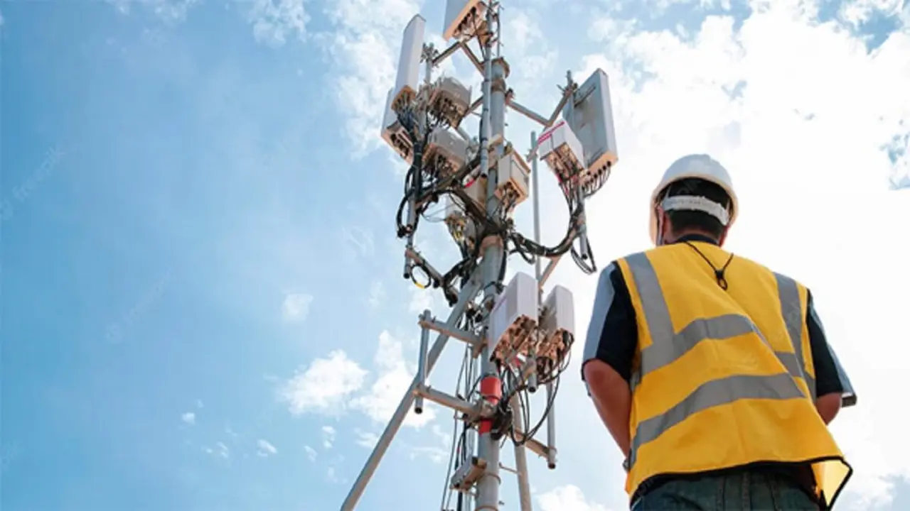
The seven space platforms form a fleet of sensitive microwave, optical and infrared cameras and a variety of environmental sensors. They move at high speed and with great stealth, independently of each other, collect information in a sequential and complementary manner and are controlled in their orbits around the Earth by the European Organisation for the Exploitation of Meteorological Satellites (EUMETSAT), which is headquartered in Darmstadt, Germany.
They watch helplessly as many hundreds of houses and buildings, hundreds of hectares of crops and dozens of kilometres of roads on the island of La Palma are buried by the tongues of lava, which swallow everything they encounter on their slow, irregular path to the sea. Fortunately, the satellites record the images and associated data they observe on their on-board computers, which they then download to satellite dishes on the ground.

They are immediately picked up and interpreted by analysts at the Copernicus Emergency Management Service, a constellation of European satellites called Sentinel dedicated to observing and securing the Earth's environment. Headquartered in Ispra, a small town about 70 kilometres northwest of Milan, the specialists map the damage caused by the volcano's magma flow, for example to the road network, buildings, power lines, water mains, waste collectors and other infrastructure.
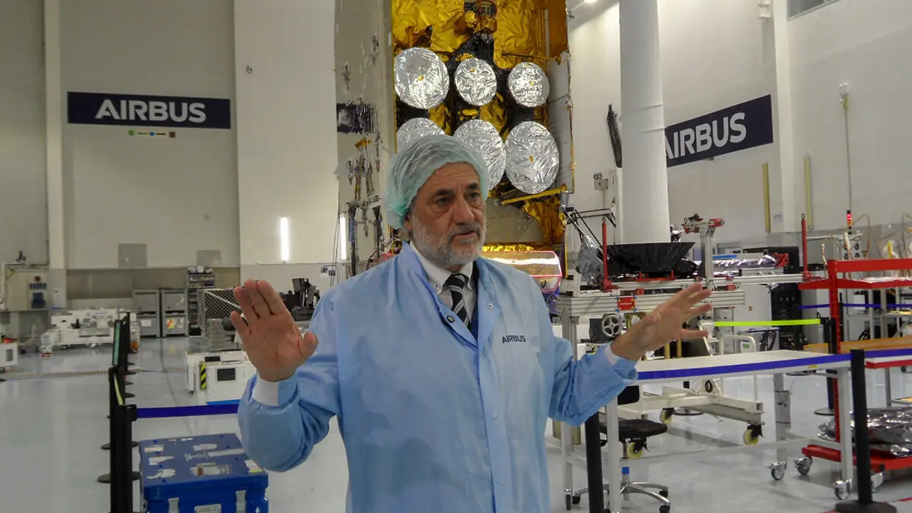
In order for the European Union's Emergency Service to issue their reports with rigour, the quality of the information sent from the Armada of satellites is verified at the European Centre for the Exploitation of Observation Missions (ESRIN), an institution that the European Space Agency (ESA) has in the Italian town of Frascati, some 20 kilometres south of Rome.

In Frascati, a team of technicians under the leadership of Spanish engineer Ferrán Gascón is in permanent contact with the Emergency Management analysts in Ispra. The group led by Gascón continuously checks that the parameters of the instruments travelling on the satellites meet the quality and degree of information as per the predefined requirements.
But which satellites are monitoring the Cumbre Vieja volcano? Brussels' contribution is made up of Sentinel-1A and 1B, 2.2-tonne C-band (5.405 GHz) synthetic aperture radar satellites located 695 kilometres above the Earth. Launched in February 2014 and 2016 respectively, they emit signals that capture the Earth's surface both day and night, regardless of the presence of clouds, which they pass through without difficulty.
Their images are highly accurate and make it possible to "measure the deformations caused by the volcano on the earth's surface". The technicians compare images taken on different dates, so that "they can detect how the volcano swells and deflates according to the degree of its internal activity", Gascón stresses.

In the case of the fire columns emanating lava on La Palma, Sentinel-1 has been able to measure how the area around the mouth of the volcano "swelled by about 10 centimetres during the days prior to the eruption", which confirms the "strong pressure that the magma exerted in its struggle to break through the earth cover and project itself outwards".
The second pair of spacecraft monitoring the volcano are the Sentinel-2 spacecraft. They are equipped with optical instruments in the visible and infrared spectra in 13 different spectral bands, which are difficult to image clearly due to darkness and clouds.

They pass over the vertical of La Palma every 5 days and provide high coverage images with a resolution of 10 metres, with which the extent of the lava flow is determined with great precision, as well as the radioactive energy emitted by the volcano. They have been in space since June 2015 (Sentinel-2A) and March 2017 (Sentinel-2B) at an altitude of about 780 kilometres.
Sentinel-3A and 3B are also over La Palma. Weighing 1.2 tonnes and in orbit since February 2016 and April 2018, respectively, they are similar to Sentinel-2 but are stationed at 800 kilometres. Their four instruments cover a total of 30 spectral bands and the images they capture "are of lower resolution", but they pass more frequently over La Palma, says Ferrán Gascón.
All the previous instruments are complemented by the Sentinel-5P, which is not for observation but is dedicated to monitoring the Earth's atmosphere. Weighing 900 kilos and with only one in space since October 2017, its instruments measure the concentration of pollutant gases, such as nitrogen dioxide, methane, carbon monoxide or aerosols, from an altitude of 800 kilometres. In the case of La Palma, it detects and measures emissions of sulphur dioxide, a gas emitted by the volcano's mouth, which in high concentrations is toxic for people.

Sentinel-1 measurements of the Cumbre Vieja volcano and its lava flows are complemented by those of the Italian Space Agency's (ASI) new COSMO-SkyMed Seconda Generatione satellite. It is a large, 2.2-tonne synthetic aperture radar satellite at an altitude of 619 kilometres, which will complete its first two years in orbit next December.
Executives of Spanish companies that develop radar technology confirm that they are working on interferometric series of long-cycle images, with the intention of developing forecasting systems to warn of impending disasters such as the one that has devastated part of the island of La Palma.

Copernicus is the world's most ambitious Earth observation programme from space. It was conceived by the European Union in collaboration with ESA to provide high-quality, up-to-date data, information and imagery, easily and freely accessible to the international community, to improve environmental management, understand and mitigate the effects of climate change and ensure public safety.