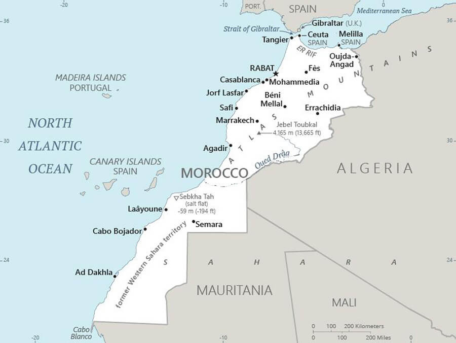
CIA updates its official map and incorporates Western Sahara as part of Morocco
The US Central Intelligence Agency (CIA) has recently updated its official website, incorporating a new map and data on Morocco. The updated map now reflects the entire territory of Morocco, explicitly acknowledging Western Sahara as an integral part of the North African country.
The CIA's official website now describes the map of Morocco as including ‘major population centres, as well as parts of neighbouring countries and the North Atlantic’. In its description, the CIA notes that ‘in 2020, the United States recognised Morocco's sovereignty over all of Western Sahara’.
In its factbook, the US intelligence agency provides comprehensive information on Morocco's geography, history, economy, political system, demographics, people and key officials.
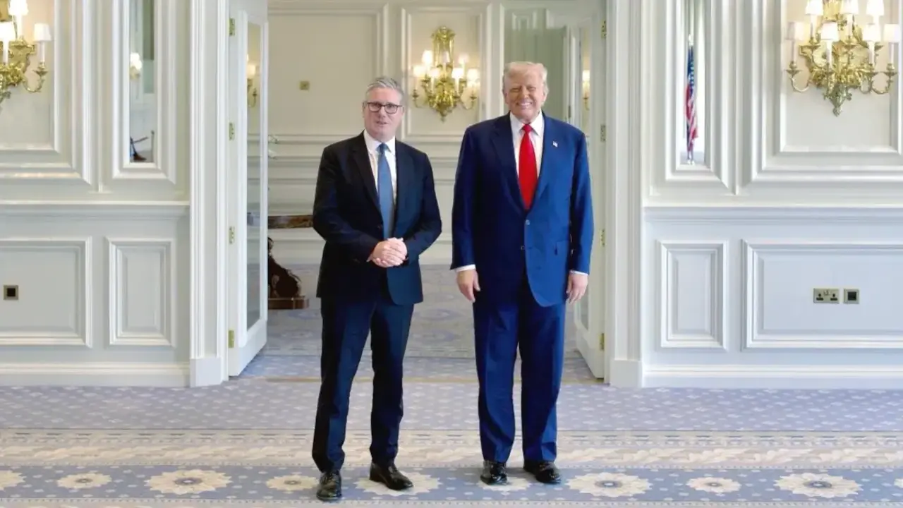
This update coincides with Donald Trump's return to the White House. US-Moroccan relations reached a historic milestone in 2020, when the Trump administration officially recognised Morocco's sovereignty over the entire territory of Western Sahara. Although the Biden administration has taken a discreet stance on the matter, it has not contested the position taken by the Trump administration.
This recognition included US support for Morocco's autonomy proposal, which was described as ‘serious, credible and realistic’ and ‘the only basis for a just and lasting solution to the dispute’.
Following in Washington's footsteps, other countries such as Spain, France and Israel have recognised Rabat's sovereignty over the region.
The US State Department's official bulletin had previously published a map that included the southern Moroccan provinces in its comprehensive borders.
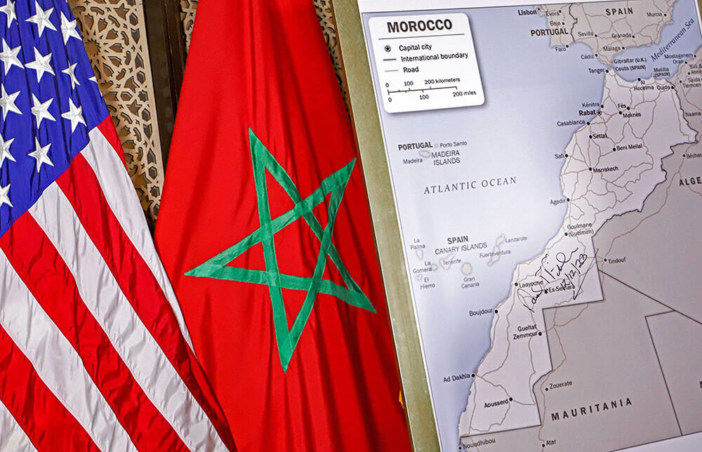
For its part, the State Department spokeswoman had stated that this map, produced by the Bureau of Geographic and Global Affairs, is recognised as an official reference under the name ‘Foreign Service Functions map’.
This map confirms the international boundaries recognised by the United States, while illustrating the State Department's official diplomatic presence around the world. It is widely used in Washington and in US embassies.